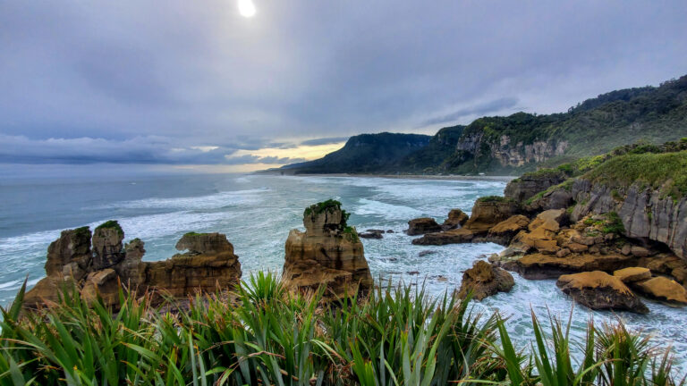
Driving through the Lindis Pass, New Zealand
Last Updated: 6th October, 2023
The Lindis Pass is a beautiful and dramatic mountain pass nestled in the South Island of New Zealand. Found between Omarama and Cromwell, it is an awesome place to stop and stretch your legs, while soaking up some incredible scenery. Here is all you need to know about driving the Lindis Pass, including tips for driving in winter, and hidden gems along the way!
What is the Lindis Pass?
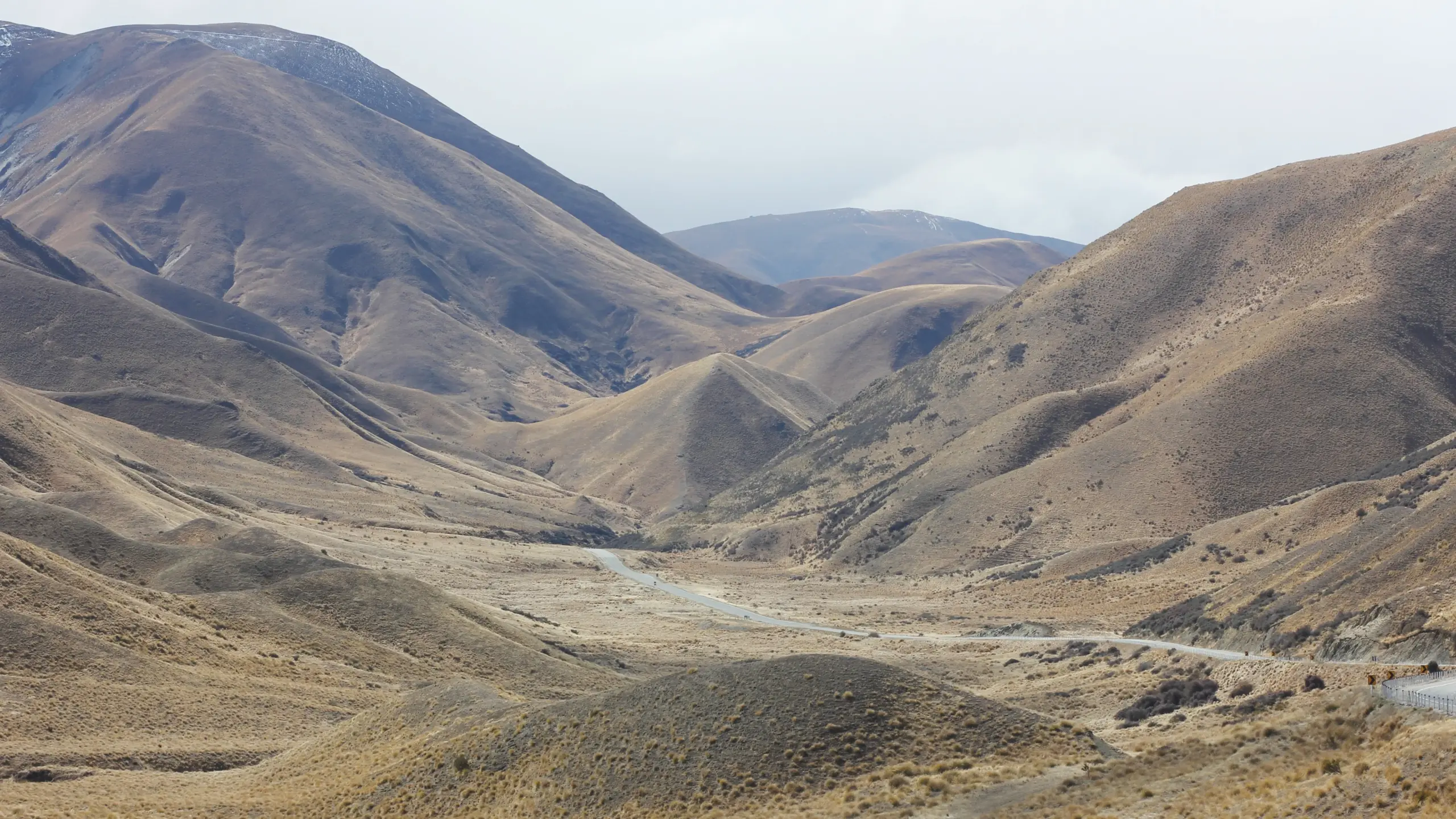
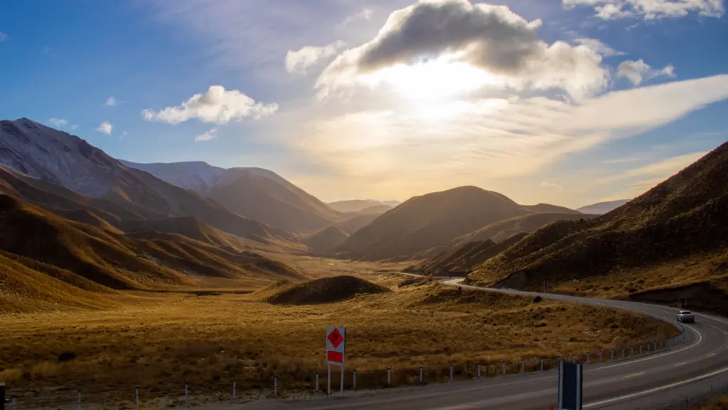
The Lindis Pass is the stunning mountain pass that links the Mackenzie Basin with Central Otago, and is found between the towns of Omarama in Canterbury and Cromwell in Central Otago. This dramatic mountain pass stands at an elevation of approximately 971 meters (3,186 feet) above sea level, offering travelers incredible panoramic views of the surrounding landscape!
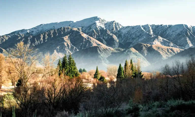
The rolling mountain range that surrounds the Lindis Pass is breathtaking, and is amazing to explore during the Lake Tekapo to Queenstown drive! It is completely covered in golden New Zealand tussock grassland, creating a really unique and beautiful landscape. During summer, the Lindis Pass is hot and dry, but during winter the mountains are often covered with snow!
Where is the Lindis Pass?
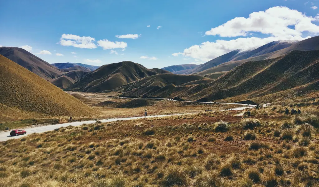
The Lindis Pass follows the State Highway 8 between Omarama and Cromwell, and links the Canterbury and Central Otago regions in New Zealand’s South Island! State Highway 8 is the most common route for people on the Lake Tekapo to Queenstown drive.
Lindis Pass Road is around 60km long, and crosses a saddle between the valleys of the Lindis and Ahuriri Rivers. The highlight of this pass is the summit Lindis Pass Lookout, with its incredible panoramic views over the surrounding mountain pass!
Map of the Lindis Pass, New Zealand
How to get to the Lindis Pass
By Car:
To reach the Lindis Pass, the best option is to drive! This pass is very remote, and driving allows you to stop and enjoy this spectacular area in your own time.
Join a Tour!
If you don’t plan on renting a car or driving, then your best bet to see the dramatic beauty is by joining a tour that will transport you through this area! There are a number of tours that travel from Queenstown to Aoraki Mt Cook National Park, and will pass over the beautiful Lindis Pass on its journey.
Driving the Lindis Pass in Winter
If you are driving the Lindis Pass in Winter, please be aware that it is a mountain pass and can be affected by snowfall and icy roads.
If you are planning on driving through during the winter months, be prepared to allow extra time to complete the drive, and take it slow and steady along the winding roads! It is best to carry snow chains just in case, and check the road report for Lindis Pass before heading off. During particularly bad or icy weather, the pass can be closed.
Things to do in the Lindis Pass, New Zealand
Stop at the iconic Lindis Pass Lookout
As you drive along the stunning Lindis Pass, you will slowly wind higher and higher through the pass, until you reach the Lindis Pass Lookout. This is the highest point of the Lindis Pass, and is 971 meters (3,186 feet) above sea level!
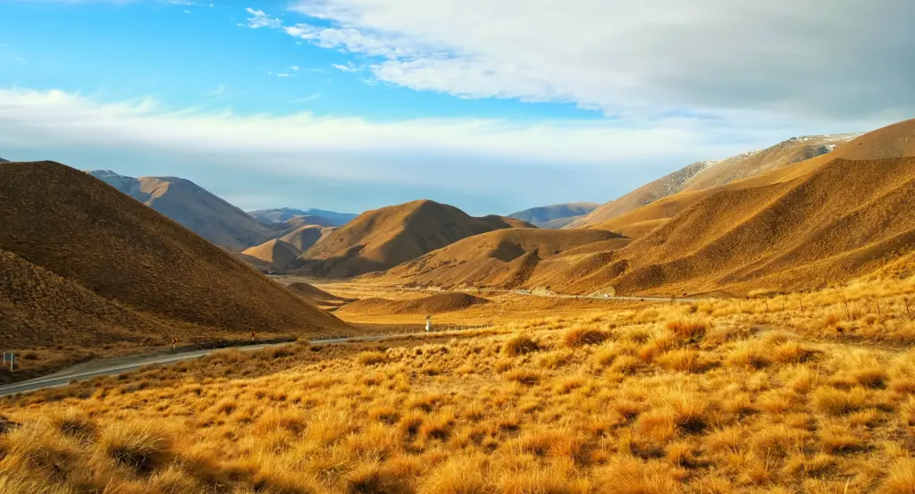
This summit is hard to miss, as it is well sign-posted and has a large car park on the side of the road, where you can park and take a minute to soak up the incredible views! From the car park, there are two short trails that take you to stunning viewing decks.
Getting to the Lindis Pass Lookout:
Hike the Lindis Peak Track
- Walking Time: 5-6 hour return
- Trail Distance: 16 km
- Trail Difficulty: An Advanced Tramping Track
This is a challenging hike that follows an old farm track from Old Faithful Road all the way up to the summit of Lindis Peak – at 1,226 meters above sea level!
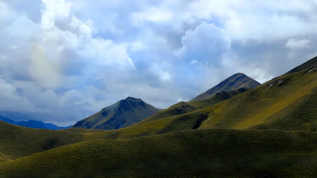
From the summit, there are incredible views over the golden, tussock-covered Lindis Pass, as well as vistas over the St Bathans Range to the east and the magnificent Southern Alps to the west!
In Central Otago the climate can swing to either extreme – with the peak covered in snow during winter, to very dry and hot conditions in summer! Make sure you are well prepared for this classic New Zealand weather changes if you’re planning to go hiking in the Lindis Pass!
Visit the Lindis Pass Historic Hotel
Nestled deep in the heart of the Lindis Pass is the beautiful Nine Mile Historic Reserve, which contains the incredible ruins of the Lindis Pass Historic Hotel! This secluded Reserve is a little off the beaten track, and is steeped in some incredible New Zealand history.
During the Otago gold rush of 1861, the Lindis Pass bustled with activity from miners eager to make their fortune. The Lindis Hotel was built in this spot, and was in operation for over 70 years, before closing in 1951. Nearby, you can also see old gold workings, as well as remains of a hut built by the last miner in the area, Wattie Thompson.
Now, the peaceful reserve is an idyllic riverside campground and picnic area, and is a fantastic spot to stop and stretch your legs along the drive!
The History of the Lindis Pass, New Zealand
Maori Greenstone Trail
In the late 19th century, Māori traveled from the east to the west coast of the South Island to collect pounamu, or greenstone. This trail, known as Tahu-a-arapaoa, travelled through the Lindis Pass from Waitaki to Lake Hawea.
The Lindis Gold Rush!
Also during the 19th Century, early reports mentioned the findings of gold in the Lindis Pass! During 1861, there was a short but sweet ‘gold rush’ in the Lindis River, with over 300 miners trying their luck! However, this was short-lived, as the extreme weather and isolation of the area put the miners off.
FAQs: Driving through the Lindis Pass New Zealand
Where does the Lindis Pass go?
Lindis Pass is a mountainous corridor located in the Southern Alps of New Zealand’s South Island. It connects the regions of Central Otago and Canterbury. The pass essentially serves as a road route between these two areas.
Do you need chains for Lindis Pass?
In the winter months, it is advisable to carry snow chains when driving through Lindis Pass. While they may not always be required, they can be essential for traction in snowy or icy conditions, which are common in this alpine region.
How long is Lindis Pass?
The Lindis Pass is approximately 63 kilometers (about 39 miles) long. This length includes the winding mountain road that passes through the area.
Why is it called Lindis Pass?
Lindis Pass is named after Captain John Linds, who was a surveyor and early explorer of New Zealand. The pass was named in his honor during the mid-19th century.
How high is Lindis Pass?
Lindis Pass itself reaches an elevation of approximately 971 meters (3,186 feet) above sea level.

