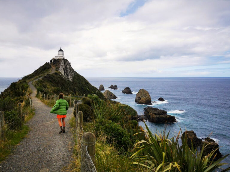
5 days hiking the Abel Tasman Coast Track!
Last Updated: 14th July 2023
One of my bucket-list items to do in New Zealand has been to walk the Abel Tasman Coast Track! This renowned multi-day hike travels through lush forest and along the picturesque coastline of the Abel Tasman National Park, and is the perfect mix of adventure and the incredible Nelson-Tasman scenery.
The trail itself is easy, and I was looking forward to getting out into nature, away from phone service and the conveniences of modern life for a few days. Here is a post on our experiences in the Abel Tasman Coast Track, as well as all the info you need to plan your own awesome adventure!
- What is the Abel Tasman Coast Track?
- How long does it take to hike the Abel Tasman Coast Track?
- What is the best time of year to hike the Abel Tasman Coast Track?
- Beginning the Hike: Getting to Marahau
- How to get home: Transport options from Wainui/ Tōtaranui
- Where to stay in the Abel Tasman National Park!
- Side Trips on the Abel Tasman Coast Track!
- Tidal Crossings
- Our experience hiking the Abel Tasman Coast Track!
- Additional tips: A Packing List
- FAQs about hiking the Abel Tasman Coast Track
What is the Abel Tasman Coast Track?
Abel Tasman Coast Track is a famous multi-day hiking trail that is located in the South Island of New Zealand. Stretching along the picturesque coastline of the park, this track offers a captivating journey through a combination of sandy beaches, native forests, and estuaries. The trail is well-maintained, making it a perfect multi-day hike for all skill levels!
How long does it take to hike the Abel Tasman Coast Track?
The Abel Tasman Coast Track will take about 3-5 days to hike. This depends on your fitness levels, your time-frame, and how many side-trips you want to explore! (more on these further in the post!)
Trail Description
Distance of Abel Tasman Coast Track: 60 km (37 miles)
This is classed as an easy New Zealand Great Walk, and the track is well maintained and a joy to hike! There are some steep sections as you walk between the beaches over hilly mountains, and the track can get muddy after a bit of rain.
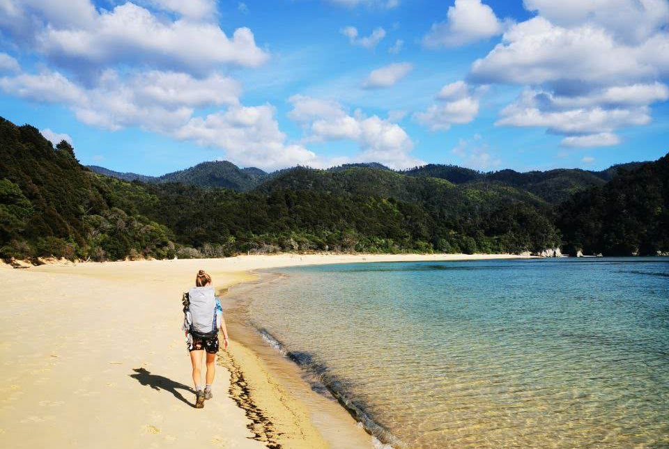
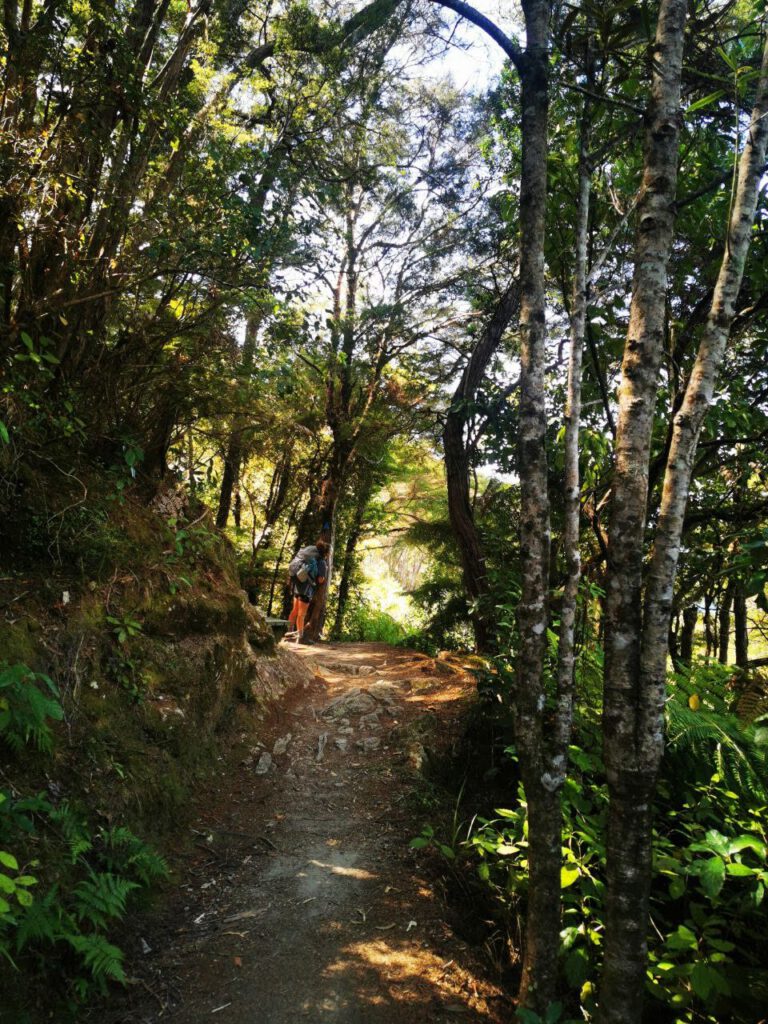
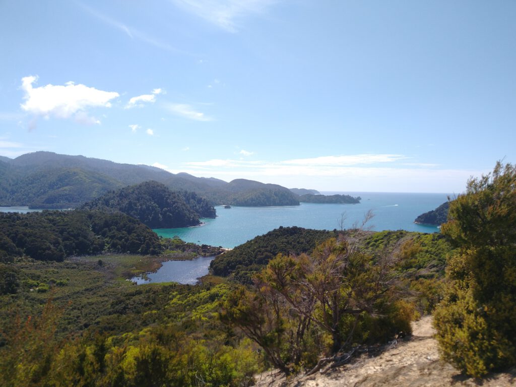
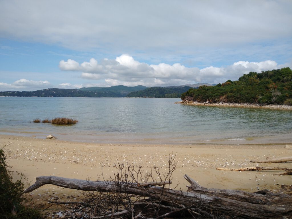
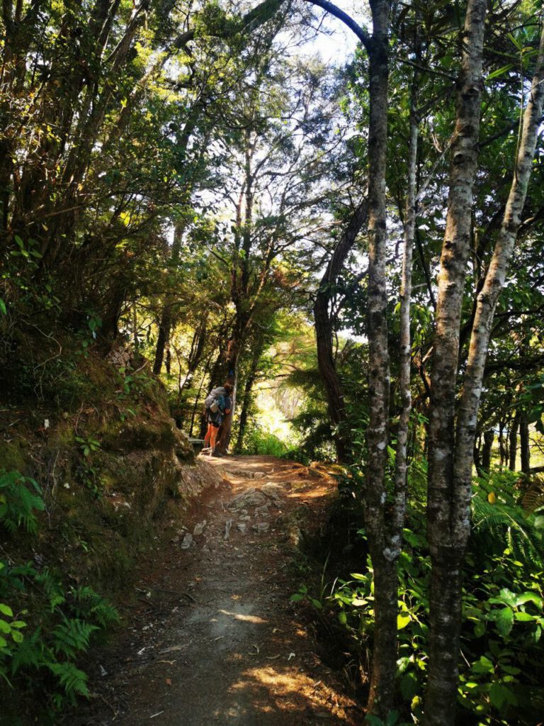
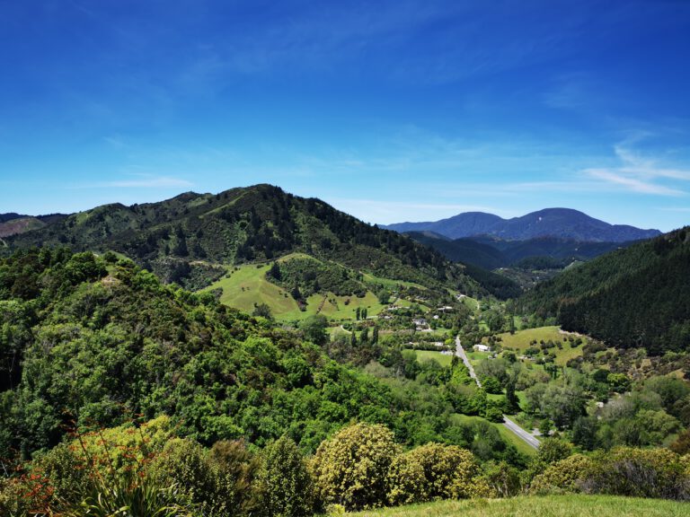
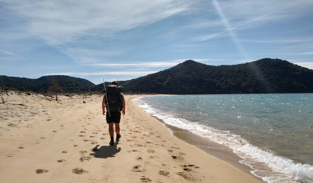
The trail begins in the village of Marahau, located at the southern end of the track. The initial section of the trail takes you through lush green forests, with native trees providing shade from the hot sun! As you continue, the trail emerges onto golden sandy beaches, offering breathtaking views of Tasman Bay. Throughout the hike, the trail meanders up and down, taking you over headlands and through coastal vegetation. There are some steep uphills that leave you breathless, however the views from the top are worth every minute of the burning thighs!
Starting Point:
The beginning point of the Abel Tasman Coast Track is Marahau, a small village located at the southern end of the track. Marahau is located just north of Kaiteriteri, and is about an hour’s drive from the closest major city of Nelson.
End Point:
The official end point of the Abel Tasman Coast Track is Wainui, which is located at the northernmost part of the track. However, many hikers choose to finish their hike at the larger coastal town of Tōtaranui, as there are more options for transportation back to Marahau. Further down in this post I will go into a bit more detail about transport options after you have finished the walk!
What is the best time of year to hike the Abel Tasman Coast Track?
- Summer (December to February): This is the peak tourist season in New Zealand, including the Abel Tasman Track. The weather is generally warm, with average temperatures ranging from 20°C to 25°C during the day. The track can be quite busy during this time, but if you don’t mind sharing the trail, summer is for you!
- Shoulder Seasons: Spring (September to November) and Autumn (March to May) is my favourite time to hike the Abel Tasman Track. The weather is mild, with temperatures ranging from 15°C to 20°C during the day. These seasons offer a good balance between pleasant weather and fewer crowds.
- Winter (June to August): Hiking the Abel Tasman Track in winter is possible but comes with some considerations. The weather during this time is cooler, with average temperatures ranging from 10°C to 15°C during the day. The track is generally less crowded, offering a quieter experience. However, it’s important to note that winter conditions can be unpredictable, and there may be rain, wind, and colder temperatures. Some sections of the track may become muddy or slippery, and river crossings might be more challenging. If you choose to hike in winter, it’s crucial to be well-prepared, have appropriate gear, and check the weather forecast beforehand.
Beginning the Hike: Getting to Marahau
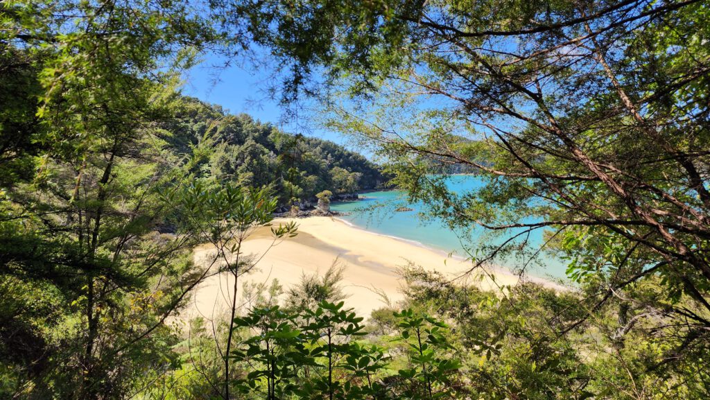
Marahau is located just north of the small tourist hot-spot of Kaiteriteri, and is the starting point of the Abel Tasman hike! There are a few different options on how to get to Marahau, depending on where you are based.
By Car:
Driving is the easiest option for getting to Marahau, as it allows you to start the hike at your own pace! Marahau is around an hours drive (60km) from Nelson City, and about 20 minutes from Kaiteriteri.
Shuttle Service Options:
If you are looking for another option to get into the park, then a shuttle might be for you! There are a number of companies that run shuttles from nearby towns of Nelson, Richmond, Mapua or Motueka and will take you to the start of the Abel Tasman Coast Track! These will normally cost around $30-$40 per person (depending on your starting point), and should be booked in advance. When we did the Abel Tasman, we used the Heaphy Bus service, which could take us to Marahau and then pick us up again at the end!
Note: I found their website a little difficult to navigate, however when I gave them a call they were awesome, giving me timing options that suited our walking plans!
How to get home: Transport options from Wainui/ Tōtaranui
Ahhh, congrats! You’ve made it to the end of the walk! Now all I wanted was to get home, have a decent shower and a cold beer. Luckily, I’d organised how to get back to our starting point prior to leaving, as there was very little reception in the park!
By Car:
If you are lucky and are being collected by car, both end points of the track (Wainui and Tōtaranui) are accessible by road! From Marahau, the times are:
Wainui: 1.5 hours drive (78 km) over Takaka Hill
Tōtaranui: 2 hours drive (88km). This drive takes you over Gibbs Headland and past Wainui, before driving over Takaka Hill
By Shuttle Service:
If you are wanting to take a shuttle, the easiest option for you is to complete the hike at Wainui Inlet and be collected from the carpark there! There are a couple of shuttle services that are happy to collect you, including the Heaphy Bus service and Golden Bay Air. They can then drop you off at whatever town you would like along the route back to Nelson!
If you are wanting a shuttle from Tōtaranui, Golden Bay Air can collect you from there – however it is dependent on demand, as it is not a part of their standard route. Just give them a call!
By Water Taxi:
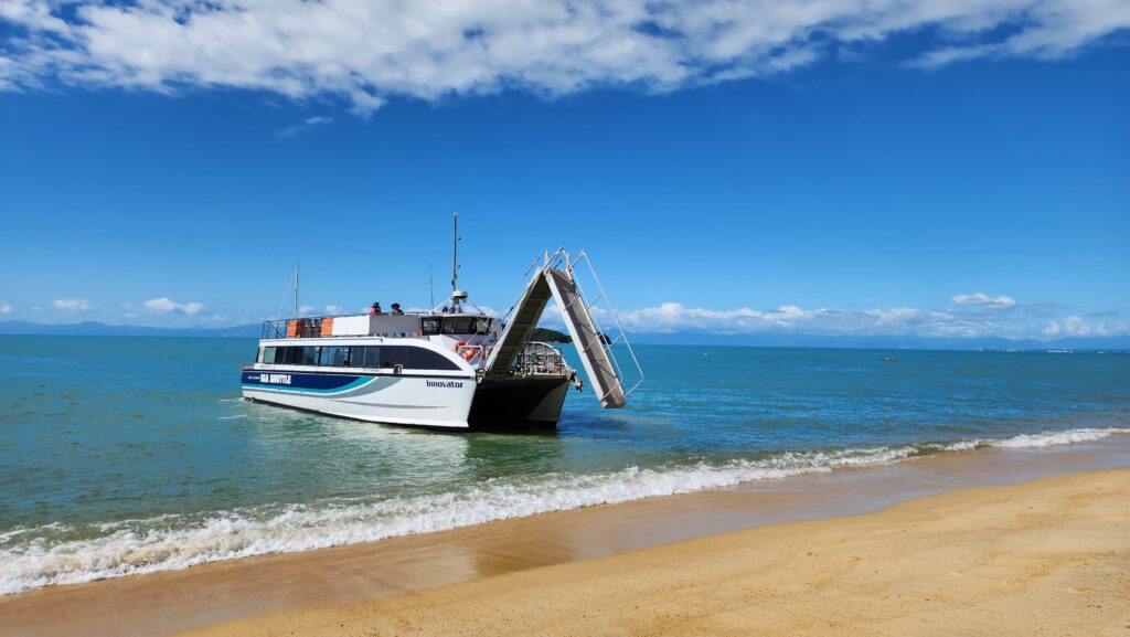
Why not finish your hike in style! If you are planning on ending at Tōtaranui, the best way (and the cheapest!) is to catch a water taxi from the beach all the way down to the beginning of the Abel Tasman National Park. They drop off in either Marahau and Kaiteriteri, and are a spectacular way to see the coastline from a different perspective!
A Water Taxi ride will cost around $60 per person, and they depart a few times a day, so you can choose the departure that suits you best! During winter they have limited jurneys, so make sure to check this out before you head off. Check out their timetable here!
Where to stay in the Abel Tasman National Park!
There are heaps of places to stay along the Abel Tasman Coast Track! The most common accommodation type is basic campgrounds, with 4 huts and 18 camping sites available along different parts of the trail. This is awesome, as you can pick and choose campsites depending on your preferences and walking time-frame!
As this is a Great Walk, it’s important that you book your accommodation in advance! There are often managers at the larger campgrounds, making sure that it doesn’t get too crowded. During the busy summer season it’s recommended to book almost a year in advance! We found that planning to do the trail during the off-peak seasons was perfect, as there was heaps of availability and a lot less tourists around!
Campgrounds:
We loved staying at the campgrounds in the Abel Tasman! Most were very rustic, with nothing more than a water tap and a long-drop toilet, however the scenery more than made up for it! Many of the campgrounds were nestled in native forest, and had stunning views of the beach and nearby coastline. Just remember your insect repellant!!

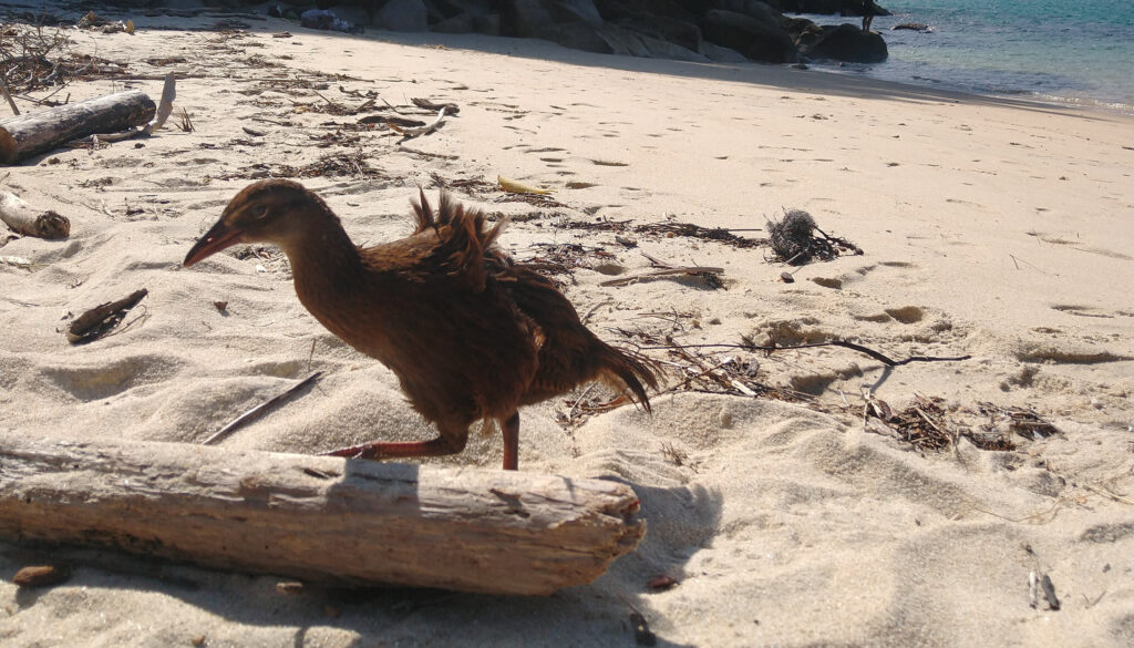
A note for campers: All around the campgrounds in the Abel Tasman you will encounter the cheeky Wekas! These birds have learned how to open zips and sneak around your tent, and so keep your eyes open or they’ll take off with your precious food supplies!
Huts:
If you don’t fancy lugging a tent with you, there are 4 huts that you can stay at along the way. These offer a standard bed bunk and toilet, but no cooking facilities – so remember to pack your stove!
1. Anchorage Hut
Bunk Beds: Anchorage Hut has 34 bunk beds.
Surroundings: Anchorage Hut is located in a scenic setting near Anchorage Bay. It sits nestled in native bush surroundings, offering a peaceful atmosphere. The hut is just a short walk from the stunning Anchorage Beach, where you can relax and enjoy the coastal beauty.
2. Bark Bay Hut
Bunk Beds: Bark Bay Hut has 34 bunk beds.
Surroundings: Bark Bay Hut is situated in a picturesque spot overlooking Bark Bay. The hut is surrounded by lush native forest, creating a serene environment. It’s an ideal place to appreciate the natural beauty of the area and listen to the sounds of birdsong.
3. Awaroa Hut
Bunk Beds: Awaroa Hut has 26 bunk beds.
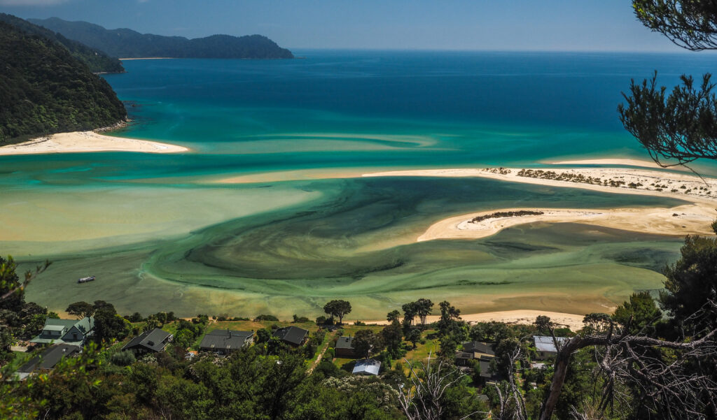
Surroundings: Awaroa Hut is located near the stunning Awaroa Inlet. The hut is nestled among coastal vegetation and offers beautiful views of the surrounding estuary. It provides a tranquil setting where you can unwind and enjoy the serenity of the coastal landscape.
4. Whariwharangi Hut
Bunk Beds: Whariwharangi Hut has 20 bunk beds.
Surroundings: Whariwharangi Hut is situated in a secluded location at the northern end of the Abel Tasman Coast Track. Surrounded by native forest and rugged coastal scenery, this hut offers a sense of tranquility and remoteness. It provides an opportunity to immerse yourself in the natural beauty of the area.
Side Trips on the Abel Tasman Coast Track!
Who doesn’t love a little side quest? Throughout the national park, there are a number of short side walks and activities that are a must-do when hiking the Abel Tasman Coast Track! While planning our hike, I made sure to factor time into our days to go and see some of these awesome viewpoints and attractions! Here is a list of all the side trips along the hike:
Cleopatra’s Pool
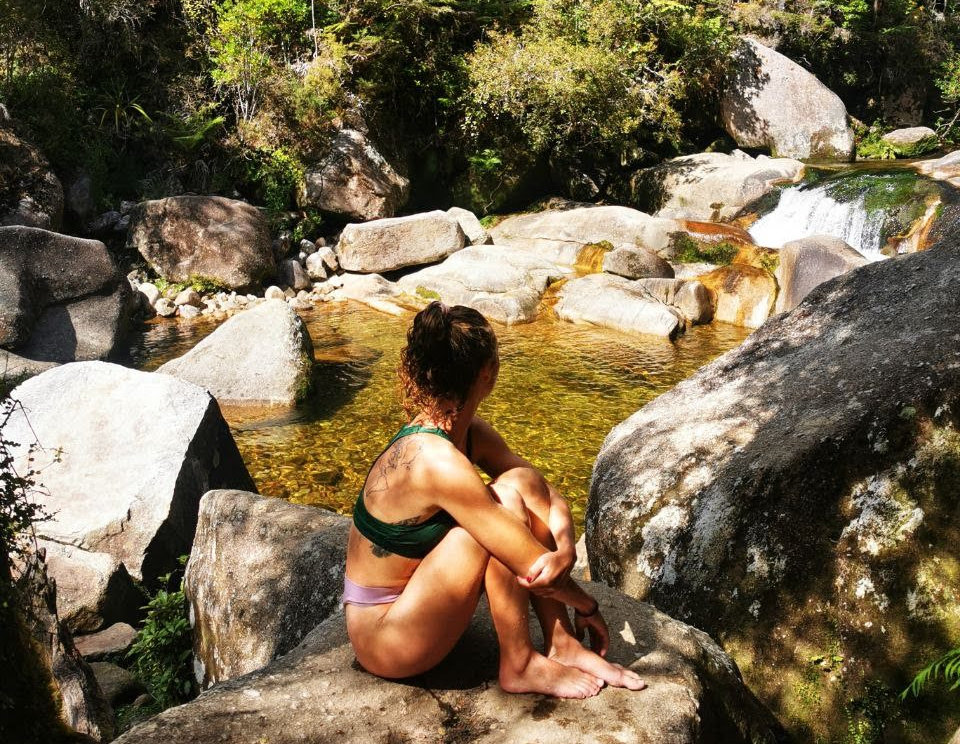
A short detour from the track will lead you to Cleopatra’s Pool, a natural rock pool with crystal-clear waters. It features a natural water slide and offers a refreshing spot to swim and relax. This water is freezing (!!) and perfect to cool down while walking in the heat of the day!
Location: This pool track is found just off the high-tide track around Torrent Bay, on Day 2 of the hike.
Falls River Swing Bridge
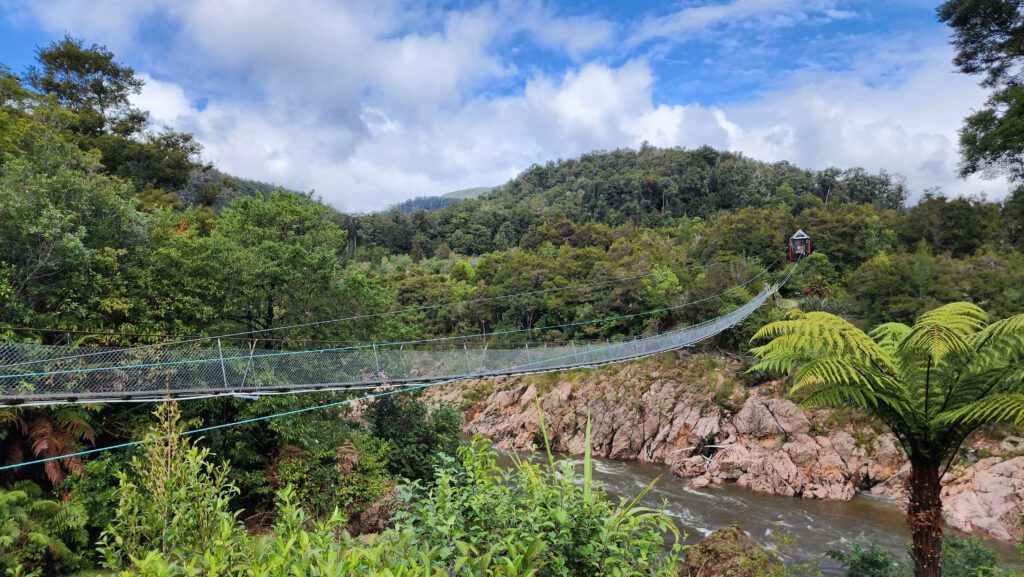
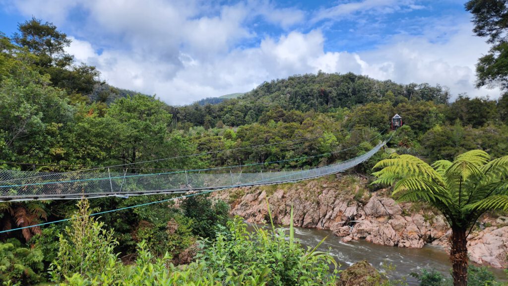
Located near Bark Bay, the Falls River Swing Bridge takes you across the Falls River. This is a 47 meter suspension bridge that gives you stunning views across the inlet and surrounding native forest!
Pitt Head Loop
This side trip takes you around the headland to the right of Anchorage Bay! It takes about an hour return, and gives you stunning panoramic views of the coastline and Anchorage Bay.
Frenchman’s Bay
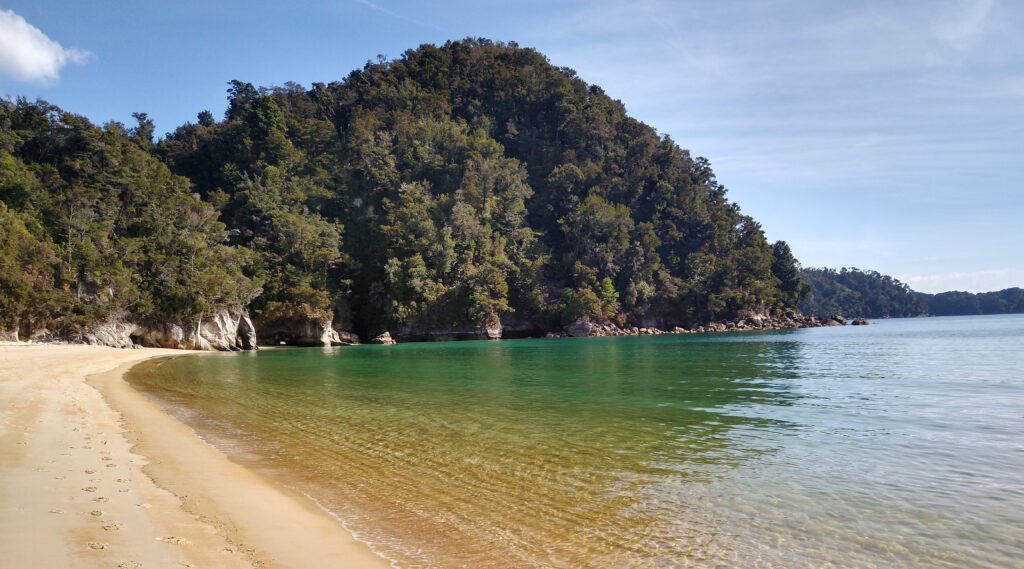
A short walk from Torrent Bay, Frenchman’s Bay is a secluded and picturesque cove. It offers a tranquil spot to unwind, enjoy a picnic, or dip your toes in the calm waters.
Tonga Island Marine Reserve
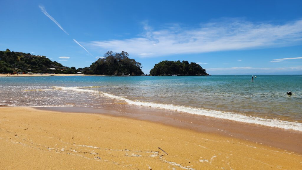
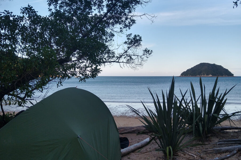
To explore the marine life of the Abel Tasman, you can take a boat tour or kayak trip to the Tonga Island Marine Reserve. It’s a sanctuary for seals, dolphins, and various seabird species.
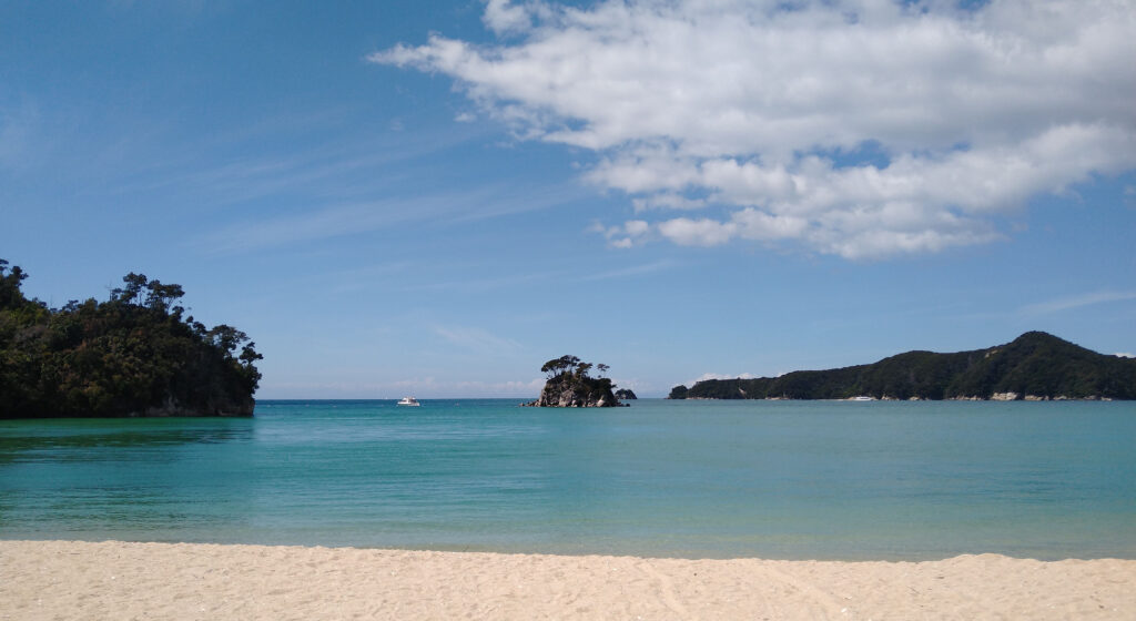
Location: Tonga Island is located just off the coast of Onetahuti, and you get a fabulous view of it from the campsite!
Tidal Crossings
While hiking the Abel Tasman Coast Track, you will definitely come across a couple of inlets that include tidal crossings! These are areas that can only be walked over around low-tide, when the water level is low. At high-tide, they will be impossible to cross – unless you fancy a swim!
There are two main tidal crossings on the Abel Tasman Track that you should plan for:
1. Torrent Bay Estuary
The first tidal crossing you will encounter on the Abel Tasman Coast Track is the Torrent Bay crossing! This is located just after Anchorage Bay, on Day 2 of your hike.
The tidal crossing at Torrent Bay can be crossed within 2 hours either side of low-tide, and so you have a 4 hour window to be able to walk across. Check the tide times for your walk here!
Luckily, if you arrive at Torrent Bay at high-tide and are unable to cross the estuary, there is an alternative high-tide track that loops around the estuary and through native forest, before meeting up with the track at the other side of the bay! This loop will add around 3km to your hike, or an extra hour of hiking.
Note: At Torrent Bay, no matter the tides I would recommend taking the high-tide track! Not only is the path through the forest gorgeous, this is also where you will find the side track to Cleopatra’s Pool!
3. Awaroa Inlet
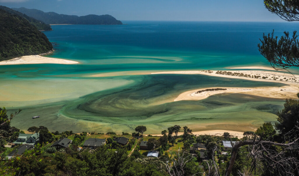
Awaroa Inlet is another tidal crossing along the Abel Tasman Coast Track. Similar to Torrent Bay, it can only be crossed safely during low tide. The crossing window is 1.5 hours before until 2 hours after low-tide, so you have a 3.5 hour window to cross the Inlet! Unfortunately there is no high-tide track around this Inlet, so make sure you have double checked crossing times before you set off, and book your campgrounds carefully so that you can reach them in good time!
We were planning on staying at a campground just beyond the Awaroa Inlet, and so planned to cross in the late afternoon. We arrived at Awaroa Bay Hut around 2 hours before low-tide, and the water was still quite deep at the crossing. We sat at the hut for a while and had a snack, before finally attempting the crossing! The water was deep in sections and the bottom of my bag got a little wet, but it was a lot of fun!
From the Awaroa Hut, it can be quite hard to see where the path continues on the other side of the inlet. However, if you just head directly straight across the inlet, you will soon see a bright orange marker signpost that will lead you back onto the trail.
Our experience hiking the Abel Tasman Coast Track!
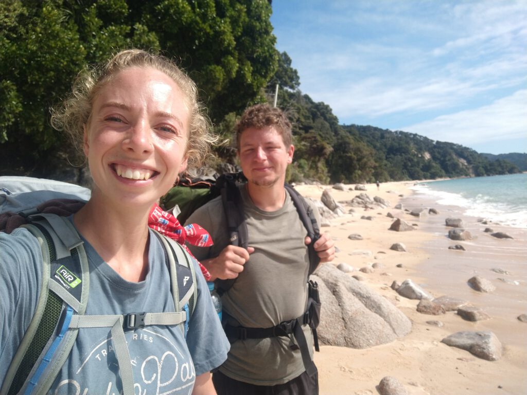
We hiked the Abel Tasman Coast Track in March 2021, which felt like the perfect time to do it! The weather was beautiful and warm, and the water still felt perfect to swim in after a long day of hiking! The best part of doing the walk in the off-season was that there were very few other tourists, and so we often had the campground to ourselves!
Day 1: Marahau to Anchorage Bay
- Time: 3.5 hours
- Distance: 12.4 km
We spent the night camping at Marahau the night before our walk, so that we could begin bright and early the next day! We parked at the Abel Tasman CarPark, which is located right at the start of the track, and offers heaps of space.
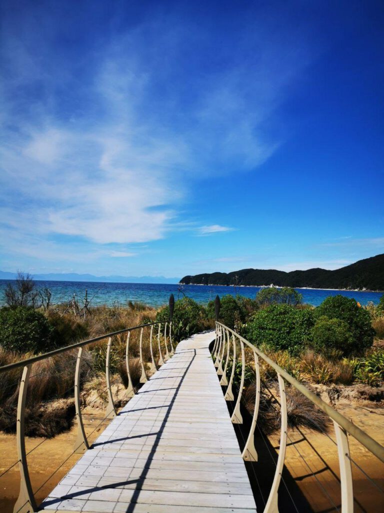
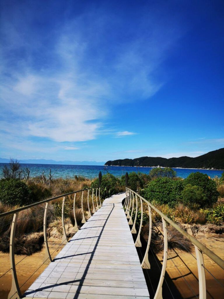
The trail begins with us crossing a boardwalk over the Marahau Estuary, before heading into a lush beech forest with large kānuka trees. There are a few little bays near the start of the walk, and we stopped off briefly at Coquille Bay for a drink and a tramping snack! The trail continues to follow the coastline north, with stunning views of the ocean and Adele Island just offshore.
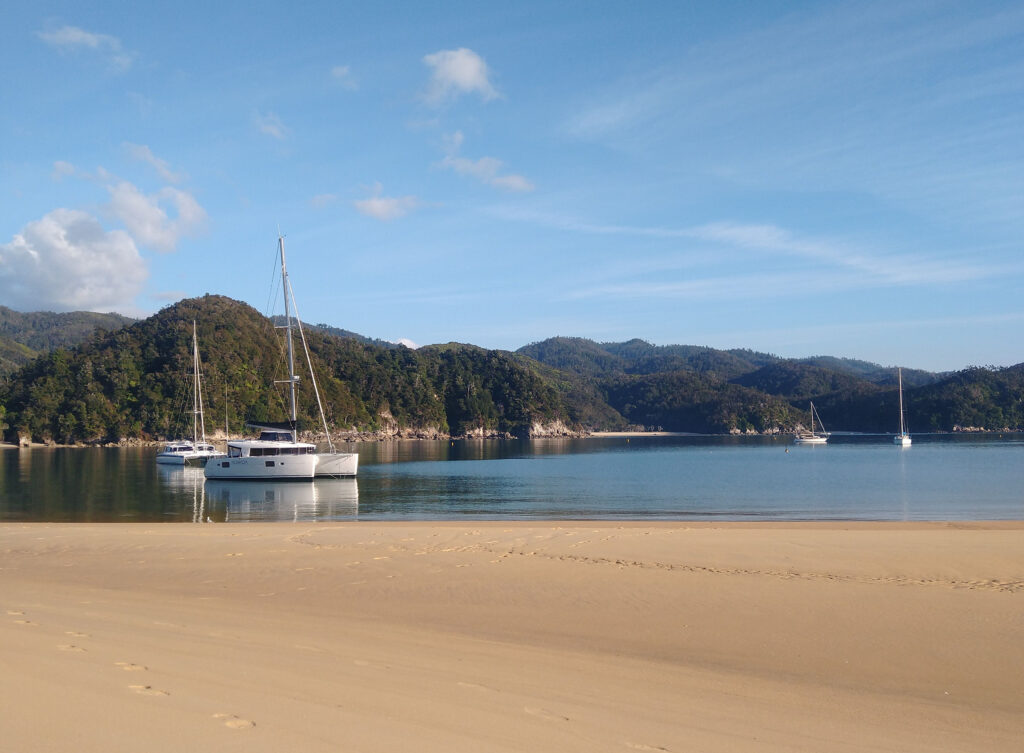
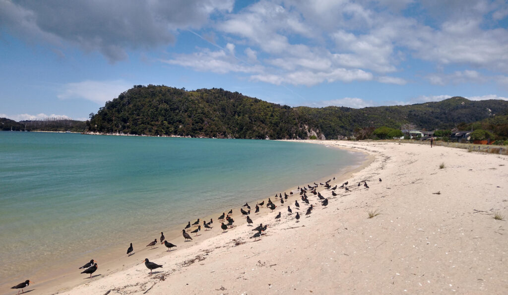
After a few hours walk, the trail turns inland, winding in and out of several little gullies before emerging to a view of the beautiful Anchorage Bay! We immediately threw off our backpacks and dove into the cool clear water of the bay, bliss! This is a large campground, and the most common spot for people to stop on their first night on the trail. It was quite busy, even in off-season, but a beautiful place to stay never-the-less!
Day 2: Anchorage Bay to Onetahuti Bay Campsite
- Time: 5.5 hours
- Distance: 19 km
On our second day of the walk, we woke up early and enjoyed a swim before hitting the trail once more! The trail begins with a walk down the beach around the bay, before heading over to Torrent Bay. It was nearing high-tide as we arrived at the estuary, and so we had to take the high-tide route around Torrent Bay. This was perfect for us, however, as I wanted to check out Cleopatra’s Pool!
Cleopatra’s Pool is a short walk off the main trail, and it takes you to a beautiful pool tucked away in the surrounding forest. It was perfect for a dip, although pretty refreshing (!), and it has a natural waterslide shaped out of the rocks!
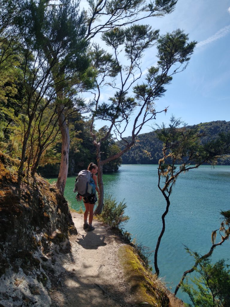
After Torrent Bay, the path winds its way through lush forest until you reach the incredible Falls River Swing Bridge! This is an impressive 47-metre long suspension bridge that carries you over the Falls River, and gives you spectacular views of the river and Falls River Beach! The colours of the scenery here are just insane, with turquoise water, incredibly green forest and golden sand. Gaah!
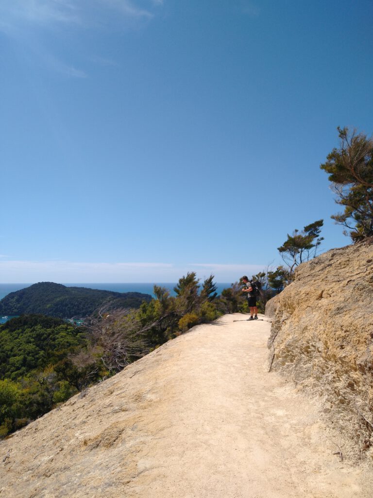
The walk continues up the coast, across the beautiful Bark Bay estuary, and begins a steep climb up over the headland through dense mānuka trees. After a few stops at some of the stunning view points on the headland, we dropped back down to the coast and arrived at Onetahuti Bay – one of the longest beaches in the Abel Tasman! We decided to stay at Onetahuti Bay campground as it was a little more secluded than Bar Bay, and we had the entire place to ourselves!
This campsite ended up being my absolute favourite of the hike, with spots directly facing the stunning ocean. After setting up the tent, we went for a swim in the crystal clear waters, and watched the fishes and stingrays as they swam around the rocks. Bliss!
Day 3: Onetahuti Bay Campsite to Waiharakeke Bay Campsite
- Time: 2.5 hours
- Distance: 8.4 km
This was one of our shortest days on the hike, with only around 8km to walk! We planned this as this was the day that we would be crossing the Awaroa Inlet, and the low-tide times were either early in the morning or in the evening – giving us a bit of a time restriction for how far we could go.
The track began with a steep uphill over the forested Tonga Saddle, which got our thighs burning! The path becomes windy, and drops down into the stunning Awaroa Bay, giving you incredible views over the estuary and the distant headland. As we had a while before we could attempt the crossing, we spent a few hours relaxing and swimming at the Awaroa Bay Beach, before making our way to the Awaroa Hut.
We arrived at around 2 hours before the low-tide mark, and the water in the inlet was still quite high! We watched a couple of other hikers attempt to cross the inlet early, and in some places the water was reaching up to their backpacks! We waited a little longer, before finally attempting our own crossing. I hitched up by bag and we waded across the muddy inlet, trying to pick out the most stable route. The water occasionally reached up to my thighs – it was still quite high! By it was an awesome adventure, and lots of fun. Halfway across we could see the marker leading us back to the trail and up into the forest.
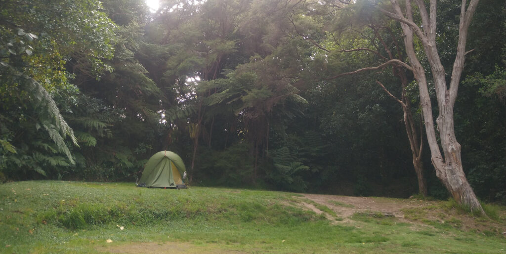
As our crossing was only accessible at around 6pm, we stayed at the first campground after the inlet – the Waiharakeke Bay Campsite. This campsite was nestled in the forest a little walk from the trail, and was incredibly tranquil! However, as we were in the forest the mosquitos were particularly bad here!
Day 4: Waiharakeke Bay Campsite to Whariwharangi Bay Campsite
- Time: 4 hours
- Distance: 13.4 km
From Waiharakeke Bay, the walk travels along the coastline until it reaches the small town of Tōtaranui. This took just over an hour, and was relatively easy, with only a few ups and downs along the way! Tōtaranui has a huge campground along the beach, with a small shop which felt like luxury after 3 days of hiking food! From here, the track turns inland and winds its way over the headland (more steep climbing to really get those quads going!) until you reach Anapai Bay. This was a perfect spot for a rest, with the campground nestled in the shade of the forest along the edge of the beach. It was a scorching hot day, and a refreshing dip was definitely deserved after all those hills!
The trail then continues up the coast, past Mutton Cove (with a beautiful looking campsite – I would want to stay at this one next time!), and inland through beautiful forest before we finally arrived at Whariwharangi Bay.
The campsite here is awesome, with lots of room to set up your tent within the trees. Although it’s a bigger campground, it feels lovely and private! It is set a little way back from the beach, and we walked down there in the evening to enjoy our last night on the trail!
Day 5: Whariwharangi Bay Campsite to Wainui
- Time: 2 hours
- Distance: 5.6 km
The last day was only a short walk to the end of the trail, at the car park in Wainui! However, we had to be up-and-at-’em pretty early, as the shuttle was scheduled to collect us at around 10 in the morning. The walk from the campsite to Wainui took just under 2 hours, with one last hill to climb! The views over the Wainui Inlet are stunning, with the track zig-zagging down the hill until you reach the water. We made it!
We had organised a shuttle collection through The Heaphy Bus, which was perfect! They picked us up at the carpark directly at the end of the track, and drove us back to Marahau, where we had left our car. It was awesome having it all organised so that we didn’t have to think about anything. As soon as we arrived back in Marahau, we walked directly to The Park Cafe next to the car park for a well-deserved pizza and ice-cold beer!
Additional tips: A Packing List
Packing the right gear and supplies is essential for a successful hike! Here is a checklist i’ve made for things to pack for your adventure on the Abel Tasman Coast Track:
- A sturdy hiking backpack! (40-60 Litres recommended!)
- Quick drying hiking pants or shorts
- T-shirts and long-sleeves for sun protection
- Lightweight fleece or jacket for the chilly evenings
- Waterproof rain jacket
- Hiking Socks (and a few extra pairs!)
- Sturdy, comfortable hiking boots or shoes
- Sandals or water shoes for river crossings and beach walks
- Hat and Sunglasses
- Sleeping bag suitable for the season
- Lightweight sleeping pad for added comfort
- Earplugs (in case of noisy hut mates)
- Lightweight tent (if camping)
- Lightweight stove and fuel
- Cooking utensils, including a pot, pan, and utensils
- Lightweight, packable bowl, and mug
- Water bottles or hydration bladder
- Water purification system (water filter or water purification tablets)
- Lightweight food and snacks – enough for the the number of days you’ll be out, + a little extra!
- Personal toiletries (toothbrush, toothpaste, biodegradable soap, etc.)
- Microfiber towel
- Sunscreen (high SPF)
- Insect repellent
- Personal medications and first aid kit
- Headlamp or flashlight with extra batteries
- Map, compass, or navigation device
- Whistle for emergency signaling
- Camera or smartphone for capturing memories
- Portable power bank for charging electronic devices
- Cash or credit card for emergencies and park fees

FAQs about hiking the Abel Tasman Coast Track
How long is the Abel Tasman coastal walk?
The Abel Tasman Coastal Walk is approximately 60 kilometers long
How easy is the Abel Tasman walk?
The Abel Tasman walk is considered relatively easy, suitable for people of various fitness levels. It has well-maintained tracks and gentle terrain.
Which part of Abel Tasman Coast Track is best?
The best part of the Abel Tasman Coast Track is subjective and depends on personal preferences. However, many visitors enjoy the stunning beaches and scenic viewpoints along the track.
Can you walk Abel Tasman in a day?
Yes, it is possible to walk the Abel Tasman Coastal Track in a day, but it would require a long and challenging day of hiking. Most people choose to take several days to fully enjoy the track.
Where do you start the Abel Tasman track?
The Abel Tasman Track can be started from multiple points, but the most common starting points are Marahau and Wainui Bay.
Why is Tasman famous?
Abel Tasman is famous because it is named after the Dutch explorer Abel Tasman, who was one of the first Europeans to reach New Zealand in the 17th century.
Can you drive into Abel Tasman?
No, you cannot drive into Abel Tasman National Park itself, but there are parking areas near the track entrances where you can leave your vehicle.
What is the best hut on the Abel Tasman track?
The best hut on the Abel Tasman Track is subjective and depends on personal preferences. However, popular huts along the track include Anchorage Hut, Bark Bay Hut, and Awaroa Hut.
Can you buy food on the Abel Tasman track?
There are very limited opportunities to buy food along the Abel Tasman Track, and it is best to bring in all the food you will need.
How much is Abel Tasman?
The cost of experiencing Abel Tasman National Park varies depending on factors such as accommodation, transportation, and activities. It is recommended to check with local operators or websites for up-to-date pricing information.
Do the Abel Tasman Huts have showers?
Not all Abel Tasman huts have showers. Some huts have basic facilities, while others offer more amenities like showers. It is advisable to check the specific hut facilities when planning your trip.
Thank you for reading my post on hiking the incredible Abel Tasman Coast Track! We absolutely loved our experience and will treasure our memories forever, and I wanted to make it easy for others who want the same!
To see other things to see do around the area, including places to stay before attempting the Abel Tasman Coast Track, check out my travel guide to the region here!

